-
Join us for a guided exploration of Franklin Park’s natural wonders! This nature walk invites outdoor enthusiasts, students, families, and curious minds to discover the diverse wildlife and ecological features that […]
|
Sunday
|
Monday
|
Tuesday
|
Wednesday
|
Thursday
|
Friday
|
Saturday
|
|---|---|---|---|---|---|---|
1 event,
-
Join us for a guided exploration of Franklin Park’s natural wonders! This nature walk invites outdoor enthusiasts, students, families, and curious minds to discover the diverse wildlife and ecological features that […] |
1 event,
-
Join us at the Arboretum as we read and discover new things about the natural world. During this one-hour program for our youngest guests and their grownups, we will read […] |
0 events,
|
0 events,
|
0 events,
|
1 event,This beloved annual event marks the beginning of spring in Boston and showcases the expertise of New England garden clubs, professional designers, and MFA floral volunteers, who create interpretive arrangements […] |
4 events,
-
Judith Robichaud and Rob Larsen will lead us on the Arboretum Park Conservancy's Annual Bird Walk! Please meet us at the South Street Gate. Parking is available on Flora Way […]
-
Bike the Emerald Necklace this spring with Pedal the Necklace, a three-part community ride series hosted by the Boston Cyclists Union, the Emerald Necklace Conservancy, LivableStreets Alliance, and Mattapan Food […]
-
The Wake Up the Earth Festival was born on land that was cleared for a highway. When the communities of Jamaica Plain and Roxbury started a grassroots movement with the […] |
2 events,Boston Family Days is an extraordinary public-private partnership between the City, corporate and philanthropic partners, and 23 of our City’s leading cultural institutions to help Boston school-aged children feel at […] |
2 events,
-
Join us at the Arboretum as we read and discover new things about the natural world. During this one-hour program for our youngest guests and their grownups, we will read […]
-
Boston Parks Fitness Series offers Bostonians and visitors FREE in-person workout classes. Open to all fitness levels. Yoga Flow & Restore: This is a joyful, energizing Vinyasa practice connecting breath […] |
0 events,
|
3 events,
-
Stop by the Museum of Science on Wednesday, May 6, at 10:00 AM for the unveiling of the Annual Three Rivers Report Card Grades. Celebrate the progress we’ve made in […]
-
Introducing Nature Therapy & Forest Bathing with Cole Huang! In this FREE class, we’ll slow down and fully experience nature with all our senses. Nature therapy is the practice of […]
-
Boston Parks Fitness Series offers Bostonians and visitors FREE in-person workout classes. Open to all fitness levels. Step, Stomp & Slide with Boston Rhythm Riders! No partner needed—just bring your […] |
3 events,
-
Boston’s National Bike to Work Day Festival celebratesNational Bike to Work Day. It's our way of saying, “Thanks for riding your bike today.” We think it’s important to celebrate everyone […]
-
Tickets are required for this free event. Program Persona Totems 5–8 pm, Bertucci Education Studio Join us in the studio and create a small, aspirational artwork that will remind you of […]
-
Join us on Thursday, May 7th from 4pm-8pm for JoyWalk: A Fenway Cultural District Art Crawl. Admission at all participating locations is free of charge. Please NOTE: Check the exhibition list online for […] |
0 events,
|
4 events,
-
Bike the Emerald Necklace this spring with Pedal the Necklace, a three-part community ride series hosted by the Boston Cyclists Union, the Emerald Necklace Conservancy, LivableStreets Alliance, and Mattapan Food […]
-
NOTE: This event has been cancelled. Please consider joining us for next month's Second Saturday event on Saturday, June 13th. Please email volunteer@emeraldnecklace.org with any questions. Join Emerald Necklace Conservancy […]
-
The Boston Parks and Recreation Department's Urban Wilds Division is inviting you to join us in removing non-native plant species and build habitat walls at our second volunteer event of the […]
-
Free hands-on training session which will equip youth educators with the skills, tools, and confidence to teach map-based navigation and basic orienteering skills through interactive, movement-based activities. Register here! More […] |
5 events,Boston Family Days is an extraordinary public-private partnership between the City, corporate and philanthropic partners, and 23 of our City’s leading cultural institutions to help Boston school-aged children feel at […]
-
Fenway Civic Association is overjoyed to announce the return of the amazing Nature Man Mike as he helps us discover and uncover the hidden birders in us all. Thrill to the sign […]
-
Join the Franklin Park Zoo for a guided exploration of Franklin Park’s natural wonders! This nature walk invites outdoor enthusiasts, students, families, and curious minds to discover the diverse wildlife […]
-
Experience the springtime bloom of our renowned lilac collection with Lilac Sunday, offering fun, free explorations for the entire family. The event features ongoing tours of the Arboretum’s lilacs as […]
-
Join us for a crafting session at the Jamaica Pond hosted by the Community Committee of Friends of Jamaica Pond! We welcome all crafters and their projects to stop by! […] |
3 events,
-
Join us at the Arboretum as we read and discover new things about the natural world. During this one-hour program for our youngest guests and their grownups, we will read […]
-
10:00 | Coffee 10:30 | Special Guest Uli Lorimer of the Native Plant Trust 12:00 | Lunch 12:45 | Optional Tour of the Gardens at Elm Bank Uli Lorimer serves […]
$40
-
Boston Parks Fitness Series offers Bostonians and visitors FREE in-person workout classes. Open to all fitness levels. Yoga Flow & Restore: This is a joyful, energizing Vinyasa practice connecting breath […] |
0 events,
|
3 events,
-
Introducing Nature Therapy & Forest Bathing with Cole Huang! In this FREE class, we’ll slow down and fully experience nature with all our senses. Nature therapy is the practice of […]
-
Sparkle for the Park: An Enchanted Evening reimagines the Conservancy’s iconic Party in the Park as an elegant evening reception. Taking place in an entirely new location—once home to one […]
-
Boston Parks Fitness Series offers Bostonians and visitors FREE in-person workout classes. Open to all fitness levels. Step, Stomp & Slide with Boston Rhythm Riders! No partner needed—just bring your […] |
1 event,
-
As the Leventritt Shrub and Vine Garden nears its 25th birthday, join the garden’s original architect and our own Keeper of the Living Collections to learn about the garden’s history, […] |
0 events,
|
3 events,
-
Boston Parks Fitness Series offers Bostonians and visitors FREE in-person workout classes. Open to all fitness levels. Get moving, boost your energy, and make new friends with our fun outdoor […]
-
Join us at the 2026 Franklin Park Kite & Bike Festival Saturday, May 16th, 12 – 4 PM Franklin Park Playstead, 25 Pierpont Road It’s opening day in Franklin Park! Don’t […]
-
Stop by the lilac collection to chat with the Horticulturist who manages the Arboretum’s beautiful lilac shrubs. Horticulturist Conor Guidarelli will be there from 2:00pm to 4:00pm answering questions about […] |
1 event,
-
A FISH MIGRATION CELEBRATION! Each spring, the Charles River becomes a vital spawning ground for diadromous fish species such as the Alewife, Blueback Herring, American Shad, and Rainbow Smelt. These […] |
1 event,
-
Boston Parks Fitness Series offers Bostonians and visitors FREE in-person workout classes. Open to all fitness levels. Yoga Flow & Restore: This is a joyful, energizing Vinyasa practice connecting breath […] |
2 events,
-
The conifer collection at the Arnold Arboretum is a magical place to visit at any time of the year, as it is especially rich in history and diversity. Docent Cristina Squeff will […]
-
Join plant biologist and author Beronda Montgomery for a discussion of her new book, “When Trees Testify: Science, Wisdom, History, and America’s Black Botanical Legacy.” Montgomery explores the way that […] |
2 events,
-
Introducing Nature Therapy & Forest Bathing with Cole Huang! In this FREE class, we’ll slow down and fully experience nature with all our senses. Nature therapy is the practice of […]
-
Boston Parks Fitness Series offers Bostonians and visitors FREE in-person workout classes. Open to all fitness levels. Step, Stomp & Slide with Boston Rhythm Riders! No partner needed—just bring your […] |
1 event,
-
Gain on-bike confidence skills! We will learn & practice hand signals and advanced bike handling. Class open to all genders. Register here! If you have the basic biking skills like […] |
1 event,
-
The Esplanade Association, in partnership with Brookline Bird Club, will be leading a leisurely guided bird walk along the park – great for beginners and experts alike! We will walk around […] |
1 event,
-
Boston Parks Fitness Series offers Bostonians and visitors FREE in-person workout classes. Open to all fitness levels. Get moving, boost your energy, and make new friends with our fun outdoor […] |
|
0 events,
|
1 event,
-
Tickets available in person at the Museum of Fine Arts on a first-come, first-served basis. Admission is free with a valid Massachusetts zip code. Start your summer off right at […] |
0 events,
|
2 events,
-
Introducing Nature Therapy & Forest Bathing with Cole Huang! In this FREE class, we’ll slow down and fully experience nature with all our senses. Nature therapy is the practice of […]
-
Boston Parks Fitness Series offers Bostonians and visitors FREE in-person workout classes. Open to all fitness levels. Step, Stomp & Slide with Boston Rhythm Riders! No partner needed—just bring your […] |
0 events,
|
0 events,
|
3 events,
-
Boston Parks Fitness Series offers Bostonians and visitors FREE in-person workout classes. Open to all fitness levels. Get moving, boost your energy, and make new friends with our fun outdoor […]
-
Join us at Brookline’s fifth-annual Spring Fest on Saturday, May 30th from 11 AM to 2 PM at Olmsted Park Allerton Overlook. Spring Fest 2026 is a call for environmental action […]
-
For the 27th year, Studios Without Walls will bring a free exhibition of site specific sculptures to the community along the Emerald Necklace, in Riverway Park near the Longwood T […] |
2 events,
-
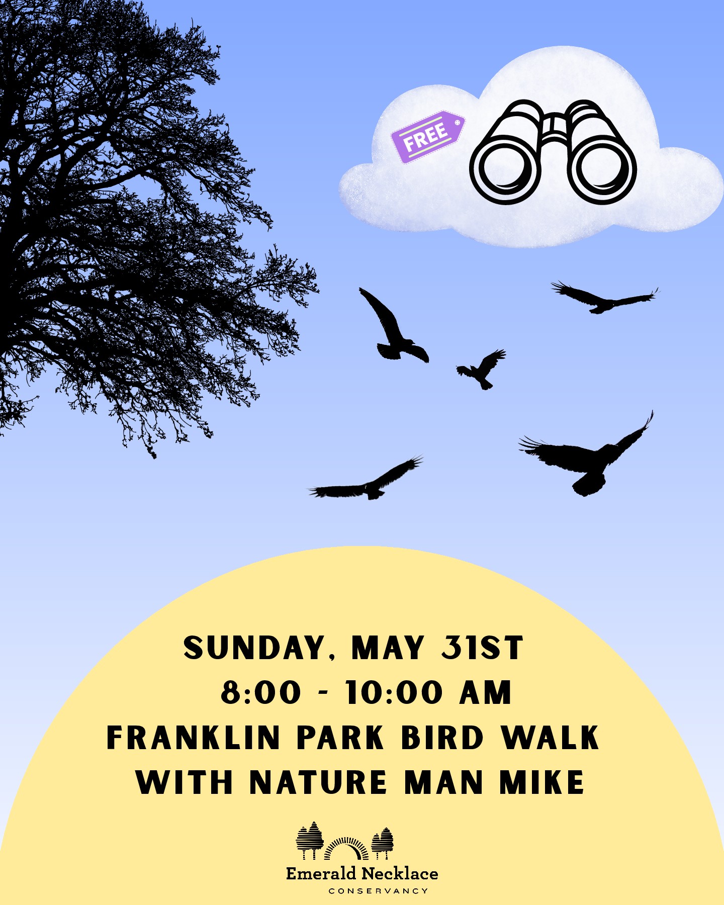
Join the Emerald Necklace Conservancy and guide Nature Man Mike on a special, family-oriented bird walk around Franklin Park! Explore Franklin Park's forests and fields in search of the beautiful […]
-
Sunday, May 31 – Community Day | 4pm-7pm Celebrate the arrival of spring with a free concert at the Hatch Memorial Shell on May 31 from 4:00–7:00pm. This special Community […] |
1 event,
-
Boston Parks Fitness Series offers Bostonians and visitors FREE in-person workout classes. Open to all fitness levels. Yoga Flow & Restore: This is a joyful, energizing Vinyasa practice connecting breath […] |
1 event,
-
Join Emerald Necklace Conservancy staff and volunteers in the Kelleher Rose Garden to deadhead and prune roses and to weed the rose beds and borders. Training and tools are provided. […] |
2 events,
-
Join a one-of-a-kind, FREE event on the Charles River Esplanade celebrating people with disabilities, music, and technology. Abilities: Amplified brings the community together for an energetic live concert alongside an interactive resource […]
-
Boston Parks Fitness Series offers Bostonians and visitors FREE in-person workout classes. Open to all fitness levels. Step, Stomp & Slide with Boston Rhythm Riders! No partner needed—just bring your […] |
1 event,
-
Do you want to learn or refresh basic skills, such as starting, stopping, & turning? Bikes & helmets provided. Class open to all genders. Register here! Beginner and Basic Skills/Habilidades […] |
1 event,
-
Looking to relax and have fun at the end of a long week? Unwind with First Fridays, an exciting evening of music, dancing, art making, and more on the first […] |
3 events,
-
Boston Parks Fitness Series offers Bostonians and visitors FREE in-person workout classes. Open to all fitness levels. Get moving, boost your energy, and make new friends with our fun outdoor […]
-
A group ride designed to practice bike skills on off-street paths, bike lanes, and on low-stress shared streets. Class open to all genders. Register here! This class is open to […] |
